
Summer-Like Weather Arrives Across the Region
After several days of pleasant conditions, Northeast Ohio is preparing for a much warmer and more humid weather pattern heading into the weekend.
Temperatures are expected to climb into the middle and upper 80s on Friday, with some communities south of Cleveland potentially approaching 90 degrees. Increasing southerly winds will pull warmer air into the region while humidity levels continue to rise.
The combination of heat and moisture will make it feel much more like midsummer than early June.
Saturday Could Bring Strong Thunderstorms
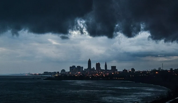
The biggest weather story of the weekend will likely arrive on Saturday.
Forecasters expect a cold front to move through Northeast Ohio, bringing multiple rounds of showers and thunderstorms. While much of the day may not be a washout, weather experts are monitoring conditions that could support stronger storms during the afternoon and evening hours.
Current forecasts indicate that thunderstorms may produce:
- Frequent lightning
- Heavy rainfall
- Strong wind gusts
- Localized flooding in low-lying areas
- Reduced visibility during downpours
Some weather agencies are highlighting the potential for isolated severe storms depending on how much instability develops during the day.
Timing Will Be Important
Forecasters expect the weather to unfold in phases.
A round of showers and storms may move through during the morning hours. Additional storms could develop later in the afternoon and evening as daytime heating combines with increasing humidity and an approaching weather system.
Between those periods, some areas could experience several hours of dry weather.
That means outdoor events, sporting activities, and weekend plans may still be possible, but residents should remain aware of changing weather conditions throughout the day.
Flooding Could Be a Concern
Although widespread flooding is not expected, heavy rainfall rates could create localized problems.
Storms will have access to abundant moisture, allowing some areas to receive significant rainfall in a short period of time. Minor street flooding and ponding on roads are possible, especially in urban areas where drainage systems become overwhelmed.
Motorists are encouraged to use caution during periods of heavy rain and avoid driving through flooded roadways.
Cooler Air Returns After the Front
The unsettled weather is expected to move east Saturday night.
By Sunday, lower humidity and more comfortable temperatures should return to the region. Sunshine is expected to increase while temperatures settle back into the 70s.
The brief cooldown will provide a welcome break after Friday’s heat and Saturday’s humidity.
More Warm Weather Ahead
The relief may not last long.
Forecasters expect another warm-up early next week as high pressure rebuilds across the eastern United States. Temperatures are expected to return to the upper 70s and lower 80s by Monday and Tuesday, with humidity gradually increasing once again.
While no significant heat wave is currently forecast, the pattern suggests Northeast Ohio is transitioning into a more typical summer weather regime.
Add comment